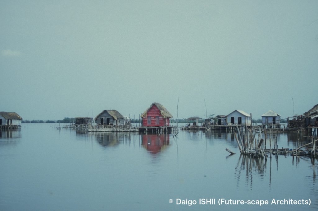
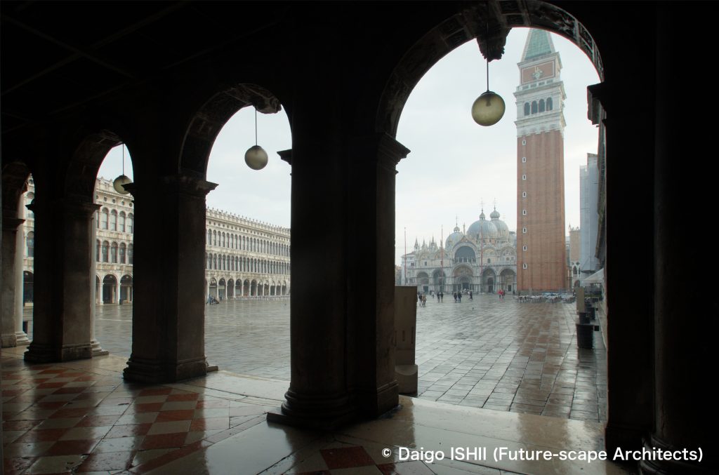
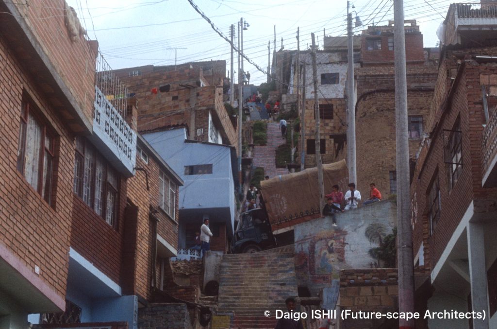
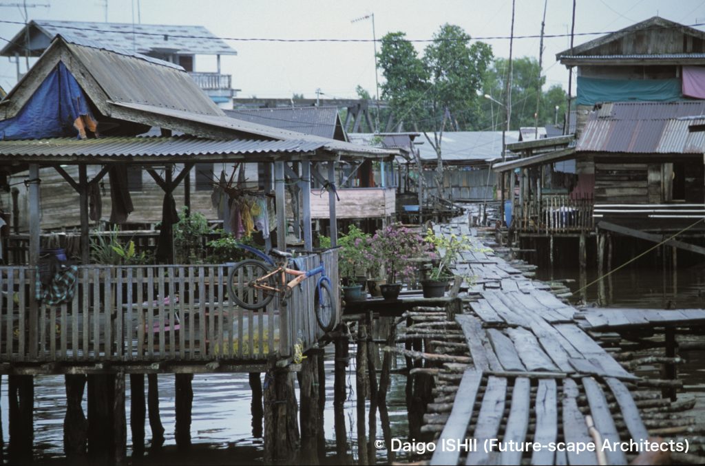
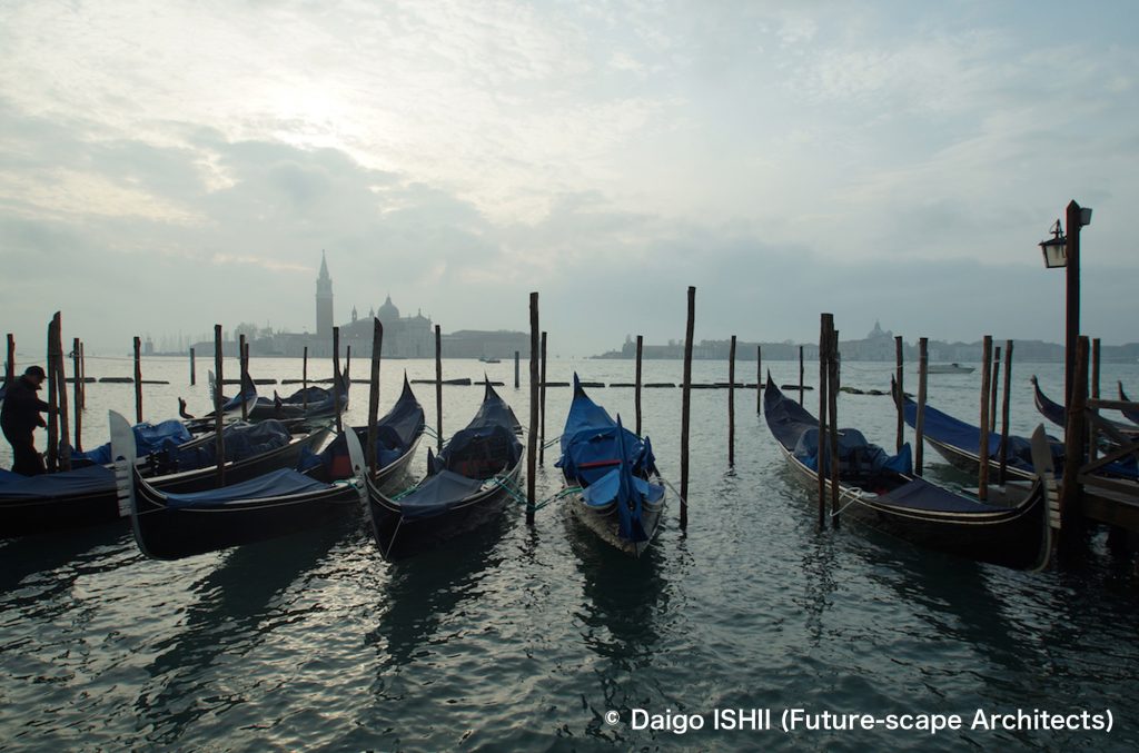
The original city for Nueva Venezia in Colombia introduced in the previous post is Venezia in Italy.
https://goo.gl/maps/SwrNsivFXawsAhz36
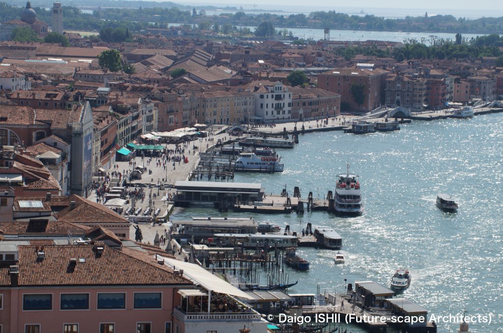
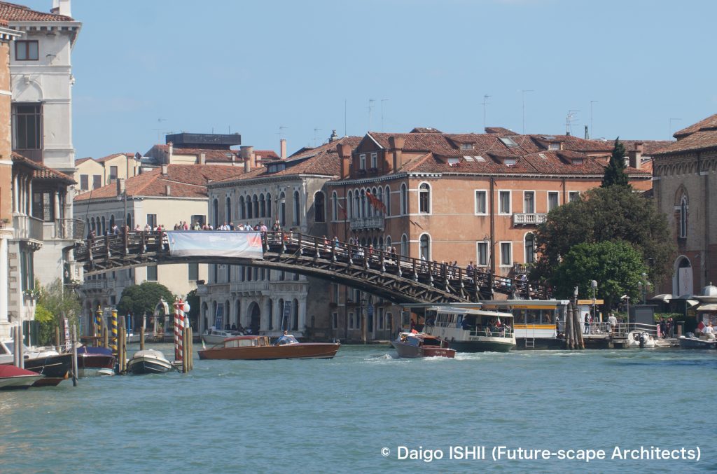
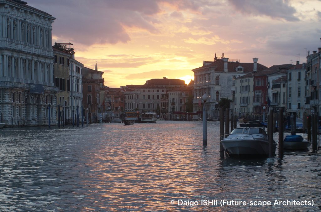
What I marveled at as I walked around the streets of Venezia was the urban structure that reflected the free air of the city.
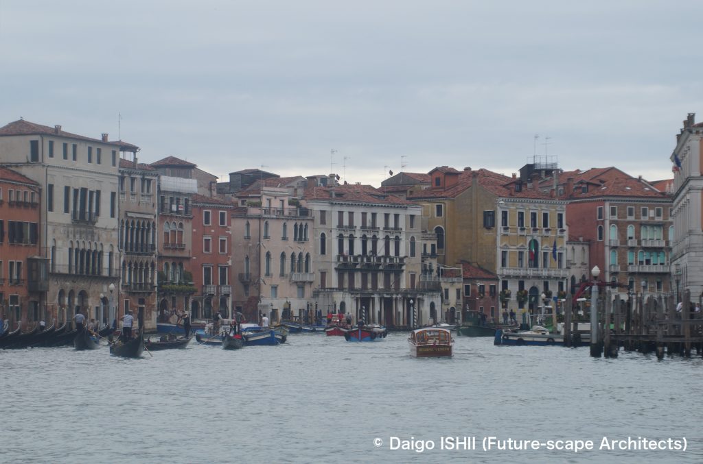
In Firenze, where a dictatorship disguised republicanism, disconnection of the residential design between the upper class and the ordinary people existed, and the architecture visualized the disparity. Venezia, which realized religious freedom and republicanism in the country (but looted abroad), had a rich variation, from palazzos for the rich to housing for the ordinary people, and the disparity looks generous.
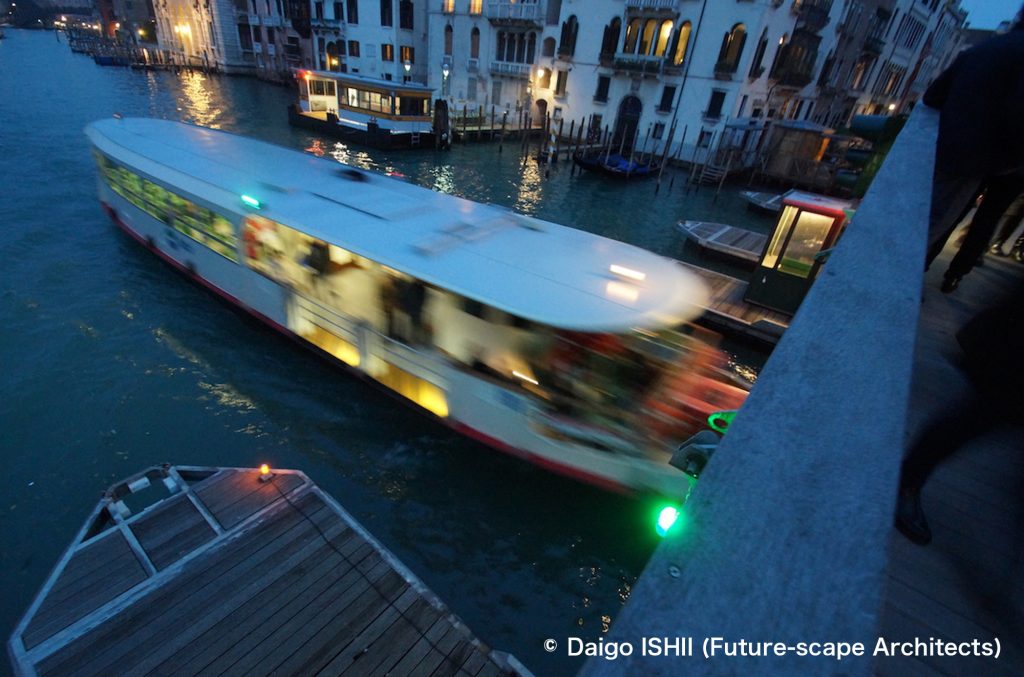
In a city on a flatland, the main street becomes the urban axis for people and traffic, and the low-traffic narrow alleys are positioned as the end. Meanwhile, in Venezia, where automobiles disappear and people walk, the main street is the shortest path connecting important points, regardless of the width of the road. So, alleys are full of people and often become an urban axis lined with luxury brand stores. As the hierarchy determined by the width of the road disappears, the city takes on somewhat flat air. Since cars are not allowed, individual means of transportation for the rich are limited. Walk and public ferries are the main. Class disparity based on the means of transportation was also moderate.
Venezia seems to be a preliminary test of the future car-free society. As the weight of walking increases, the shortest route would become the urban axis, and the hierarchy of road, urban space, and class may change their appearance?
https://goo.gl/maps/SwrNsivFXawsAhz36
https://goo.gl/maps/WnJiCAnb2f3vc2ua6
https://goo.gl/maps/h6CcKf6CBRvVB5Qs8
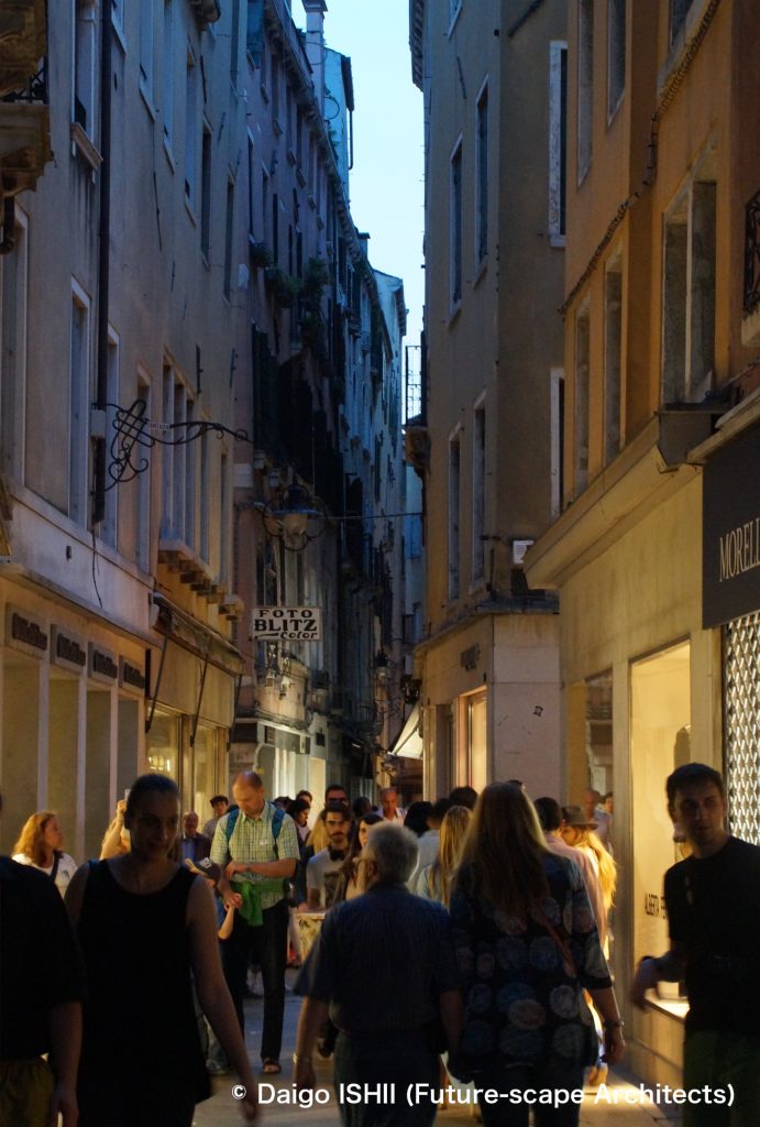
https://goo.gl/maps/rVyD1Pg53FcgTVQr6
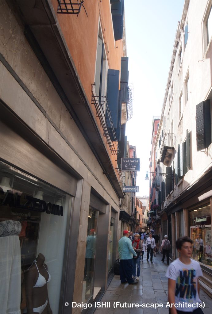
https://goo.gl/maps/novESXdSwW5DBjLZ7
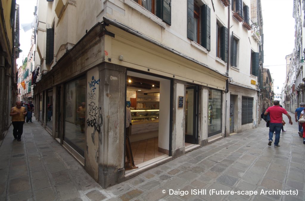
https://goo.gl/maps/eXviYLPuiF7cpSGm6
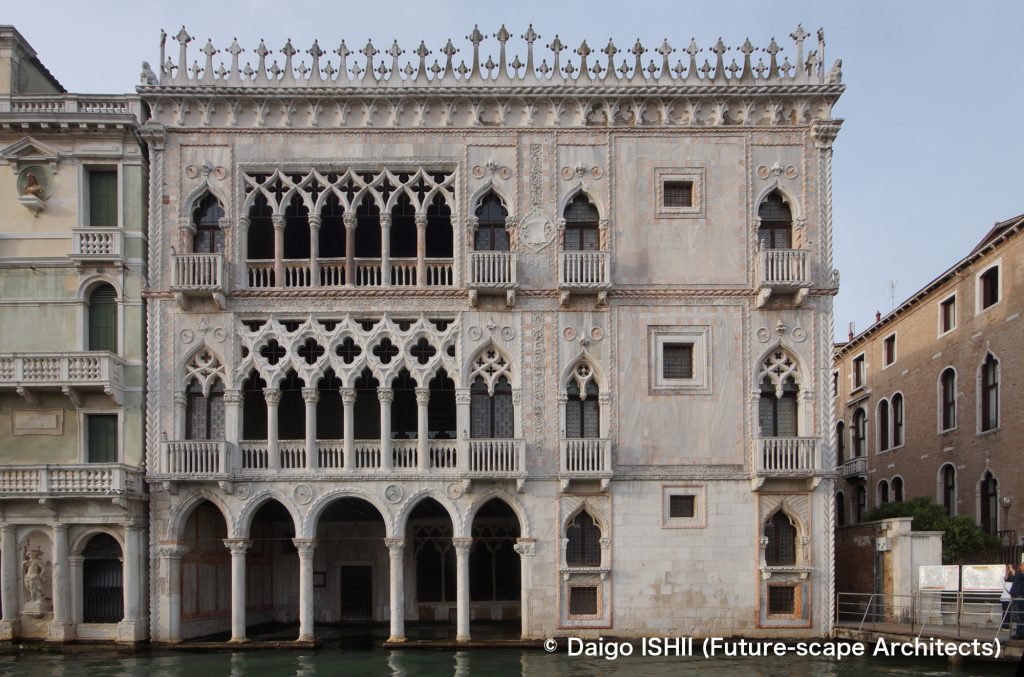
https://goo.gl/maps/yGCjWyKpr8jP2Jqj9
https://goo.gl/maps/Ga1fFwfeWguXGG3z8
Click here for your impressions
reference
Wikipedia
Please do not use or upload our photos without permission.
