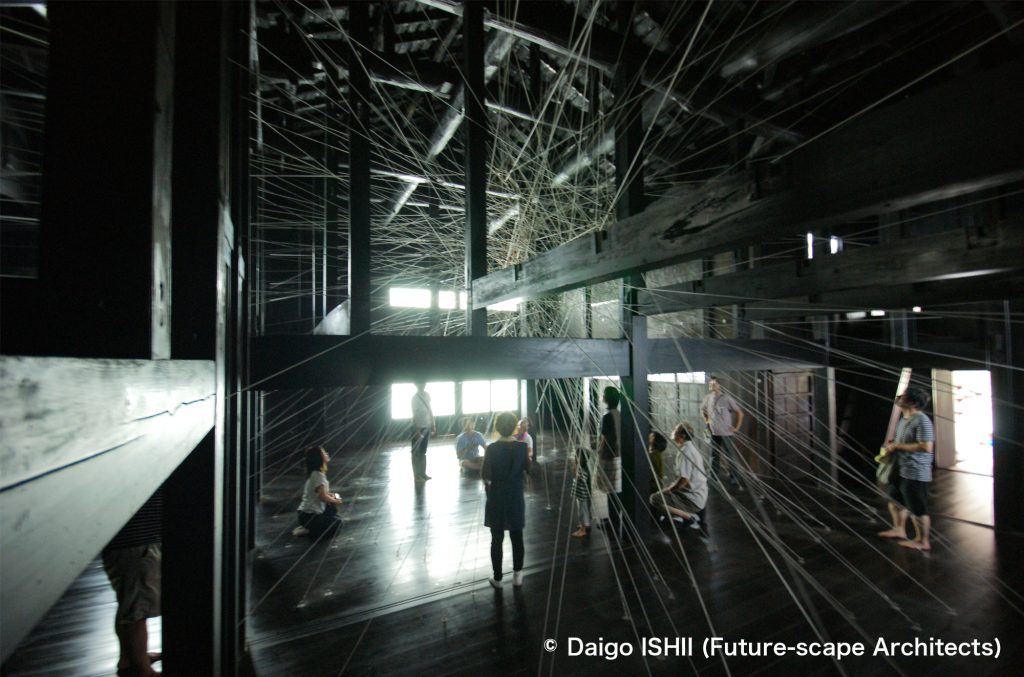
What kind of image do you have of Bogotá?
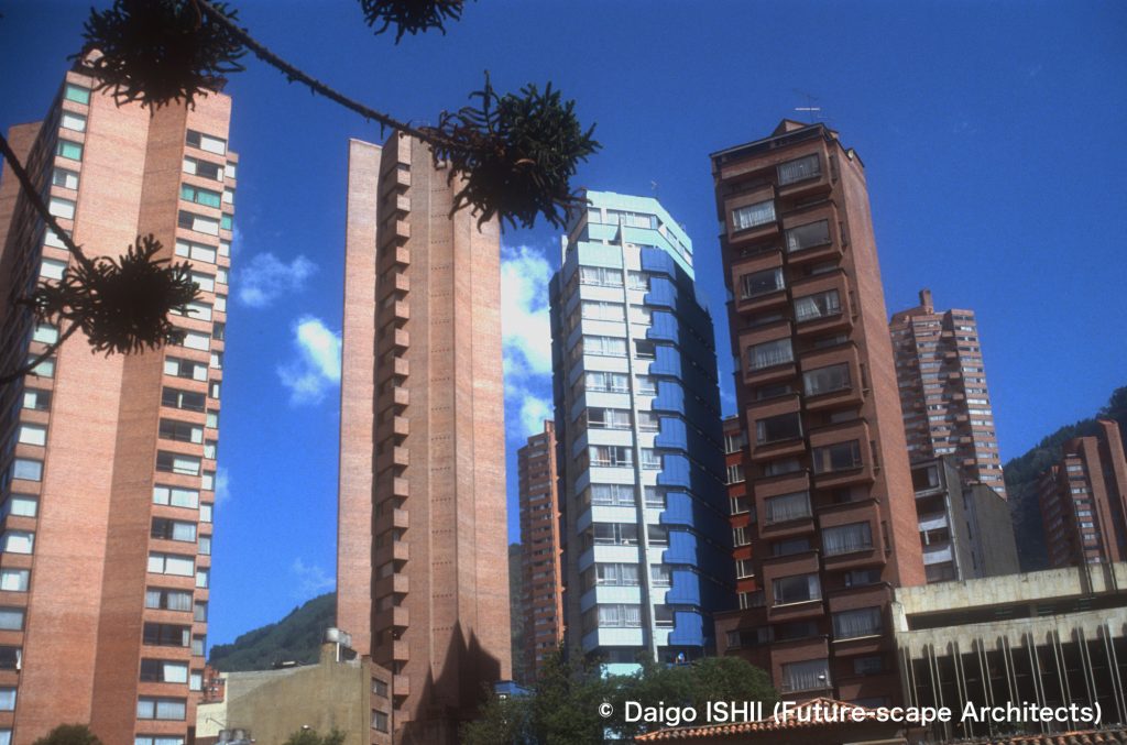
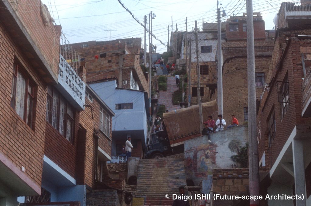
In Centro (Downtown) of Bogotá, there are many pencil-type housings. See the district at the northern edge of Centro (Downtown).
https://goo.gl/maps/KxUUyuk54zSerULY8
The early 1990s, when I lived, was a time of frequent terrorist bombings. Articles on Bogotá in Japanese newspapers were all about terrorism. In even the ranking of the safest countries in 2022, Colombia ranks 133rd out of 134 countries in Global Finance and 144th out of 163 countries/territories in the Global Peace Index. In the 1990s, Colombia was one of the most dangerous countries in the world, with the highest murder rate in the world, and terrorism existed. So my image before arrival was a city of rubble. Actually, it was different.
The city had a surprising number of skyscrapers in spite of the bombing incidents by terrorists. (In the early 70s, two skyscrapers from Bogotá were ranked among the top ten highest skyscrapers in the world). With vegetables and fruits supplied by a climate like early spring around Bogotá at an altitude of 2600 meters and the tropical zone about 3 hours away from Bogotá, the supermarket's fresh food section is the richest in the places I have visited in the world. Bogotá is called Athens in South America according to a high culture level. As long as I lived a normal life in the city, I didn't directly encounter terrorists, drug mafia, and a thief (although I suffered from a pickpocket once). It was a quiet and comfortable city to live in.
However, bombings incidents by terrorists occurred almost every day. But, due to CAI that was the introduction of the Japanese police box system, night patrols, and strict baggage checks in public office, office buildings or supermarkets, no major human damage as before but the explosion of a bank branch at midnight and the burning of a truck on the road occurred. In my experience, only once I saw a broken bank from the bus window, and, at the gate of the national university, encountered a tank that started shooting to the university (because the national university where poor students attended was a hotbed of terrorists).
Aside from the unreasonableness of terrorism, throughout my Bogotá life, I noticed that a city of 5 million people could not be defeated by small-scale terrorists' bombing incidents about once a day, and it was unsure to believe in partial media information as all about the city.
Now, with the 2016 peace agreement with left-wing terrorists, it seems that the construction rush of skyscrapers has begun in the 2010s.
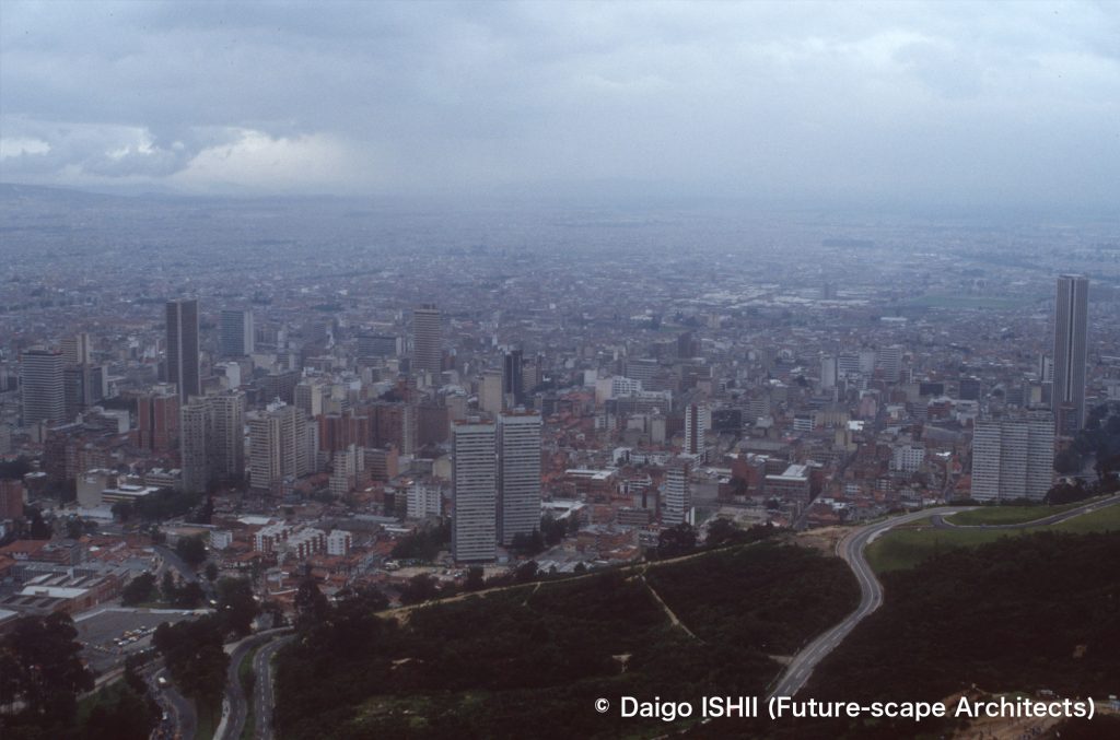
See Centro (Downtown) from Monserrate Hill.
https://goo.gl/maps/t1HV6hs73Lpbupet8
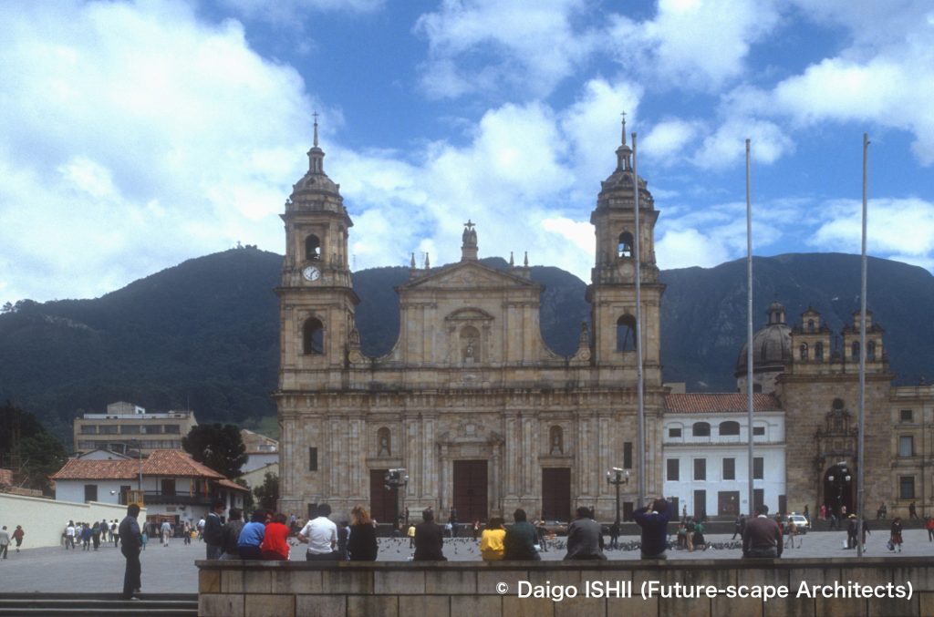
See the Catedral Primada de Colombia facing Plaza Bolivar, in the center of Centro (Downtown). It was constructed at the beginning of 19the century.
https://goo.gl/maps/j8jPvJTMwpbQBG1r8
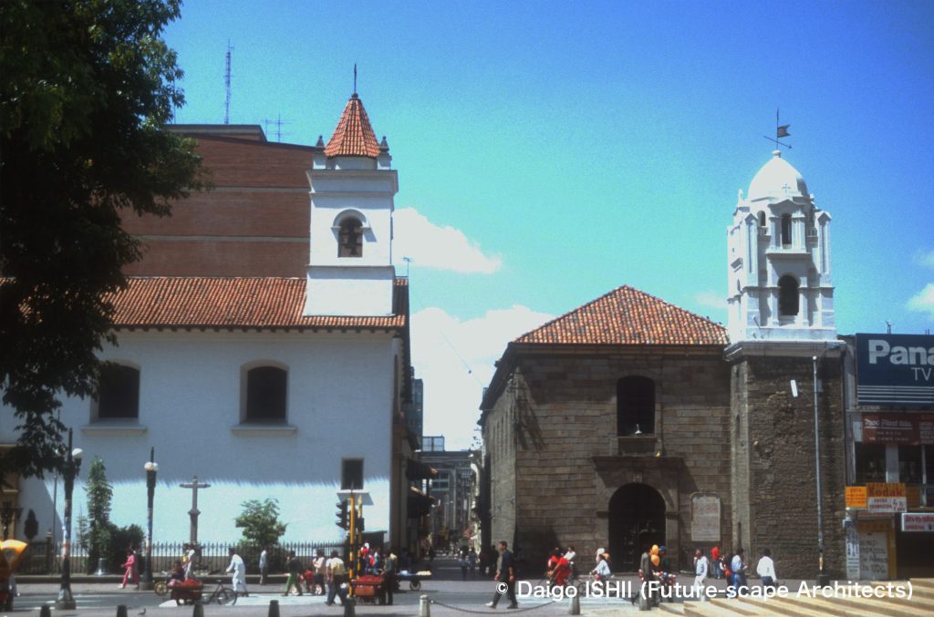
See the churches remained in the area in Centro (Downtown) where the historic district mixed with the office district.
none}
https://goo.gl/maps/THD8RUvP9to51qqi6
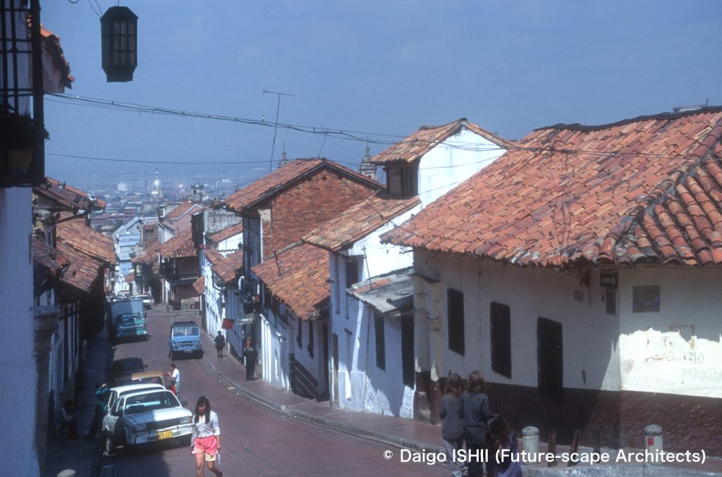
See the historical district in Centro (Downtown) from the middle of the hill.
https://goo.gl/maps/3Lbh7MjBBv6ApZKe8
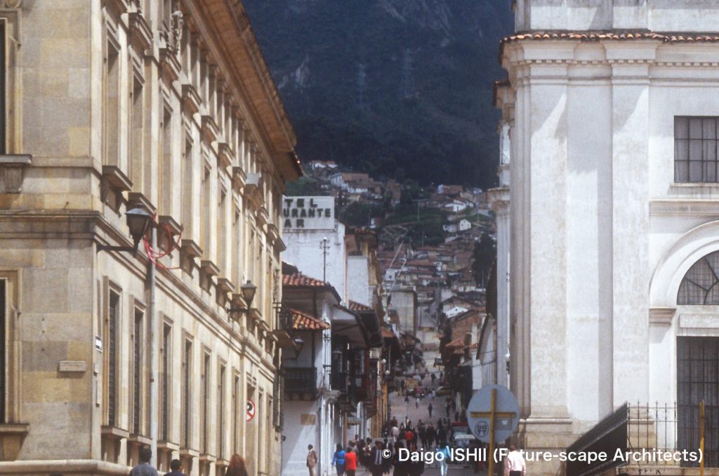
See the historic district with colonial buildings expanding on the western slope from Plaza Bolivar.
https://goo.gl/maps/Fyucq7rBvHmx4R2H9
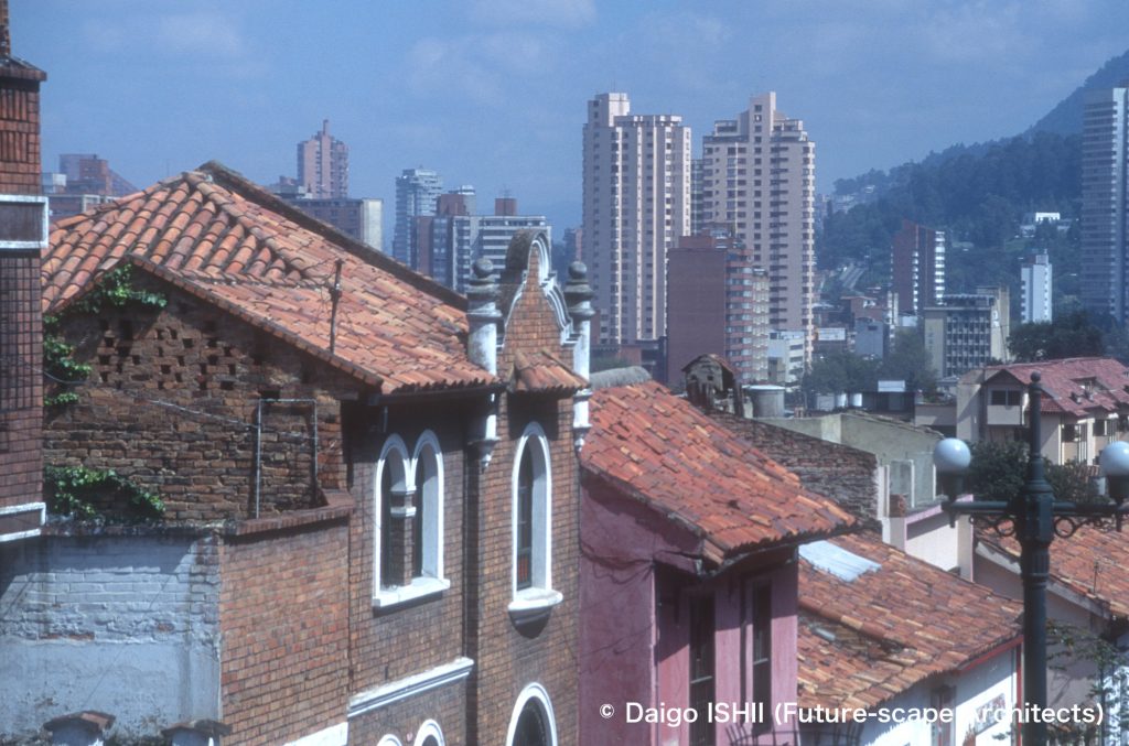
See the skyscrapers of Centro (Downtown) beyond the tiled roofs from the historic district.
https://goo.gl/maps/ynVPjWoHf8HsLC3m6
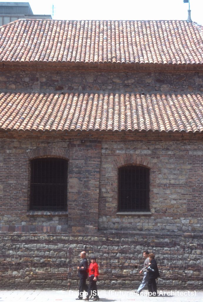
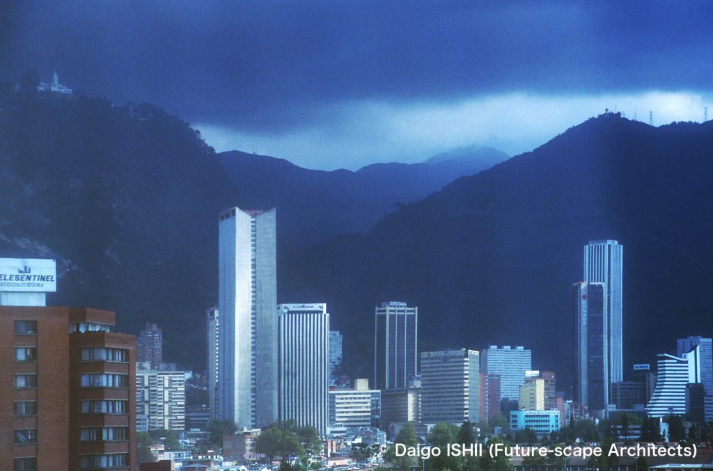
See the skyscrapers of Centro (Downtown) from the northwest and the church on Monserrate hill at the upper left.
https://goo.gl/maps/kFZmFiKc6xnBrt2J9
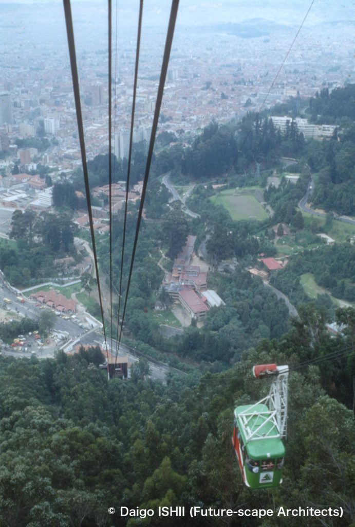
https://goo.gl/maps/Bss7dDksJKrBRTwg7
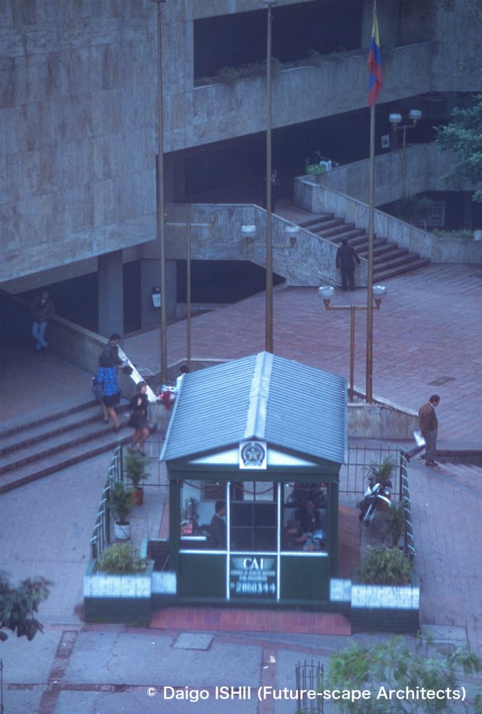
Click here for your impressions
reference
Wikipedia
Global Peace Index 2022 (Vision of Humanity, 2022)
World's Safest Countries 2021(Global Finance Magazine,2021)
Please do not use or upload our photos without permission.
